

Introduction
INTERACTIVE WEATHER MAP
Zoom Earth is an interactive weather map of the world and a real-time hurricane tracker.
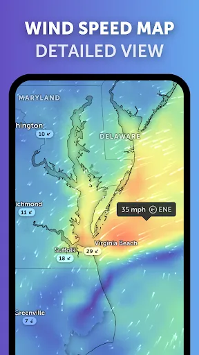
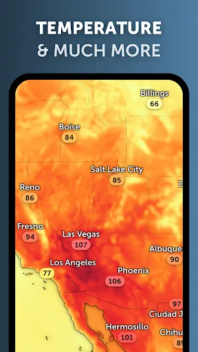
Explore the current weather and see forecasts for your location through interactive weather maps of rain, wind, temperature, pressure, and more.
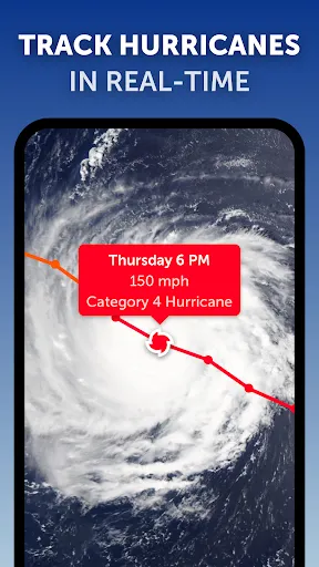
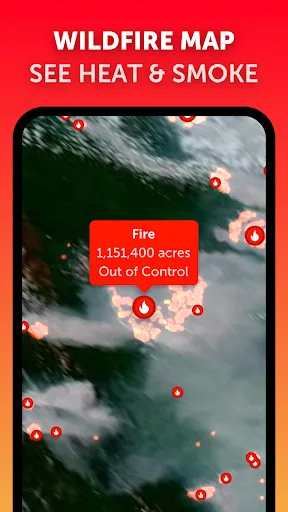
With Zoom Earth, you can track the development of hurricanes, storms, and severe weather, monitor wildfires and smoke, and stay aware of the latest conditions by viewing satellite imagery updated in near real‑time.
SATELLITE IMAGERY
Zoom Earth shows weather maps with near real-time satellite imagery.
Live satellite images from NOAA GOES, JMA Himawari, and EUMETSAT Meteosat geostationary satellites are updated every 10 minutes.
HD satellite images are updated twice a day from NASA polar-orbiting satellites Aqua and Terra.
RAIN RADAR & NOWCAST
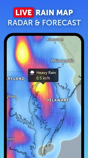
Stay ahead of the storm with our weather radar map, which shows rain and snow detected by ground-based Doppler radar in real-time, and provides an instant shor...
Zoom Earth - Weather Forecast

Review
4.8
Platform
Android
Category
Weather
Tags
Weather
Download
13.7M


